
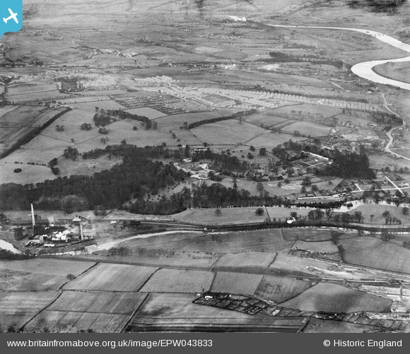
EPW043833 ENGLAND (1934). Axwell Park School, Derwenthaugh Coke Works and the Garesfield and Chopwell Railway, Blaydon, from the south-east, 1934
© Copyright OpenStreetMap contributors and licensed by the OpenStreetMap Foundation. 2025. Cartography is licensed as CC BY-SA.
Details
| Title | [EPW043833] Axwell Park School, Derwenthaugh Coke Works and the Garesfield and Chopwell Railway, Blaydon, from the south-east, 1934 |
| Reference | EPW043833 |
| Date | February-1934 |
| Link | |
| Place name | BLAYDON |
| Parish | |
| District | |
| Country | ENGLAND |
| Easting / Northing | 419468, 561756 |
| Longitude / Latitude | -1.6960108828572, 54.949995863899 |
| National Grid Reference | NZ195618 |
Pins
 Tired Hiker |
Monday 18th of September 2023 04:14:30 PM | |
Tired Hiker |
Wednesday 6th of September 2023 11:24:43 AM |