
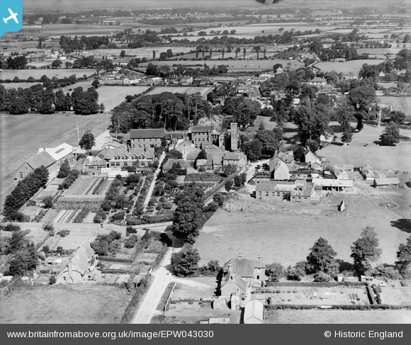
EPW043030 ENGLAND (1933). Stubbington House School and surrounding countryside, Stubbington, 1933
© Copyright OpenStreetMap contributors and licensed by the OpenStreetMap Foundation. 2026. Cartography is licensed as CC BY-SA.
Nearby Images (2)
EPW043030

EPW043031

Details
| Title | [EPW043030] Stubbington House School and surrounding countryside, Stubbington, 1933 |
| Reference | EPW043030 |
| Date | August-1933 |
| Link | |
| Place name | STUBBINGTON |
| Parish | |
| District | |
| Country | ENGLAND |
| Easting / Northing | 455407, 102943 |
| Longitude / Latitude | -1.2132964254947, 50.822812441077 |
| National Grid Reference | SU554029 |
Pins
Be the first to add a comment to this image!