
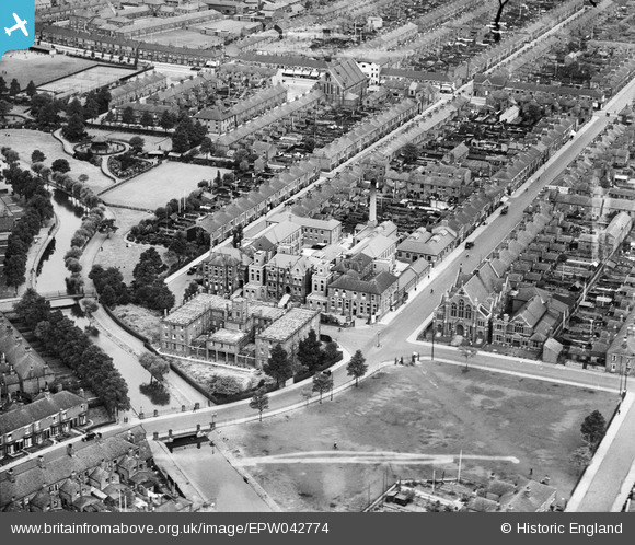
EPW042774 ENGLAND (1933). The Grimsby & District Hospital, Earl Street Bridge and environs, Grimsby, 1933
© Copyright OpenStreetMap contributors and licensed by the OpenStreetMap Foundation. 2025. Cartography is licensed as CC BY-SA.
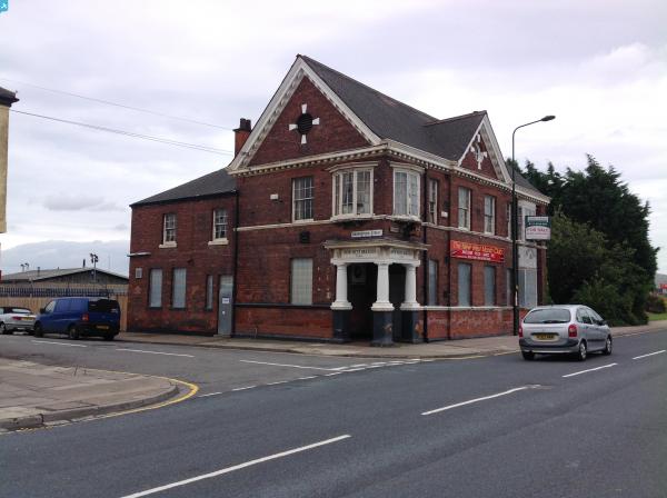
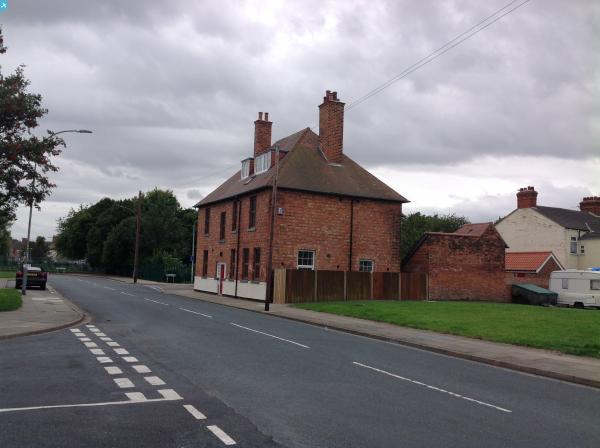
Nearby Images (5)
EPW042774

EPW042772

EPW042770

EPW042771

EPW042773

Details
| Title | [EPW042774] The Grimsby & District Hospital, Earl Street Bridge and environs, Grimsby, 1933 |
| Reference | EPW042774 |
| Date | August-1933 |
| Link | |
| Place name | GRIMSBY |
| Parish | |
| District | |
| Country | ENGLAND |
| Easting / Northing | 526531, 409685 |
| Longitude / Latitude | -0.089115664110338, 53.568251434361 |
| National Grid Reference | TA265097 |
Pins

Class31 |
Wednesday 11th of May 2016 07:45:18 AM | |
|
Class31 |
Wednesday 11th of May 2016 07:44:19 AM | |
 |
Class31 |
Wednesday 11th of May 2016 07:43:21 AM |
|
Class31 |
Tuesday 4th of March 2014 10:59:03 AM | |
|
Class31 |
Tuesday 4th of March 2014 10:58:16 AM | |
|
Class31 |
Tuesday 4th of March 2014 10:57:51 AM | |
|
Class31 |
Tuesday 4th of March 2014 10:57:31 AM | |
|
Class31 |
Tuesday 4th of March 2014 10:57:06 AM | |
|
Class31 |
Tuesday 4th of March 2014 10:56:46 AM |

User Comment Contributions
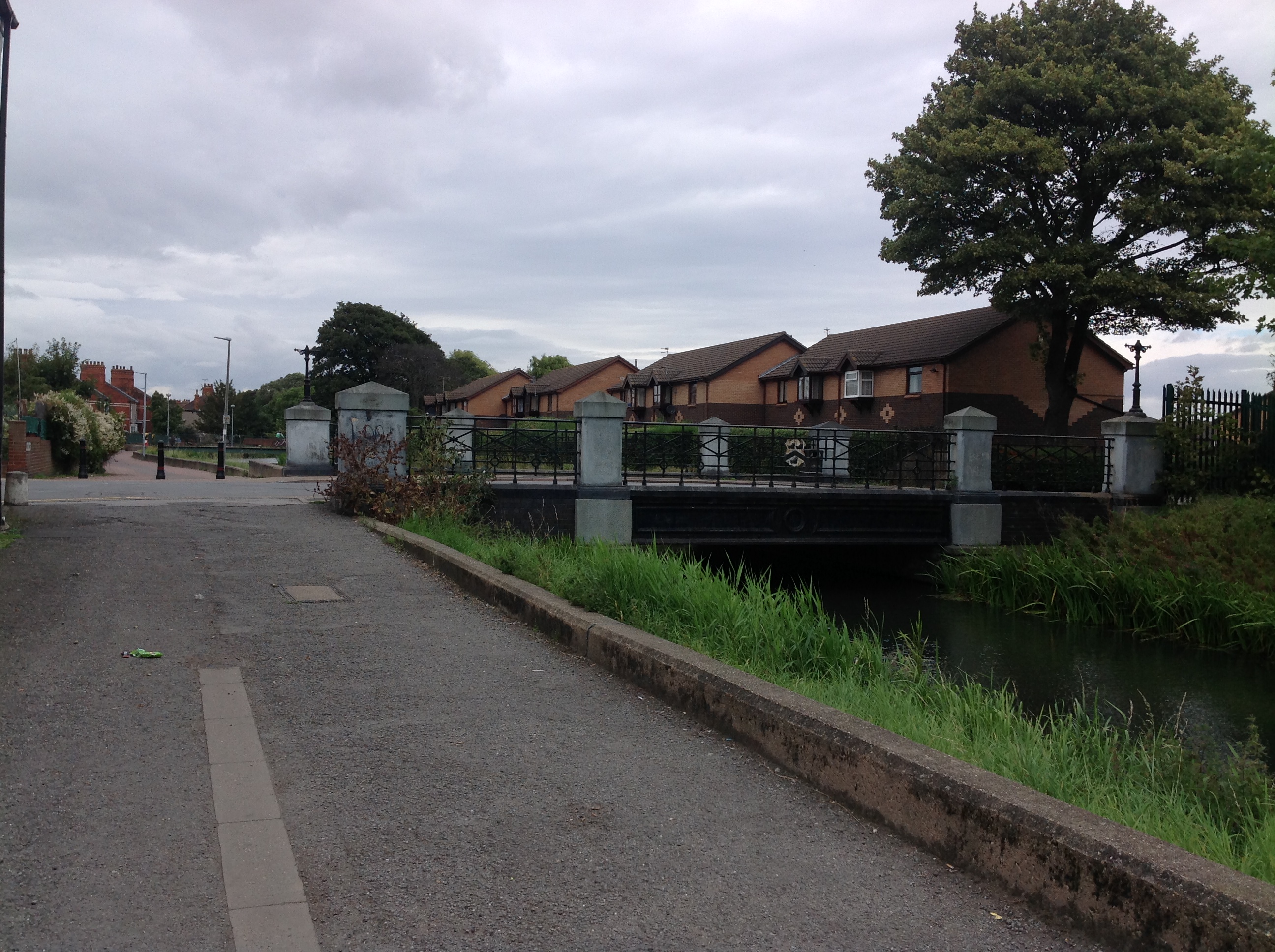
Earl Street Bridge, Grimsby, 29/08/2014 |
Class31 |
Wednesday 11th of May 2016 07:46:04 AM |