
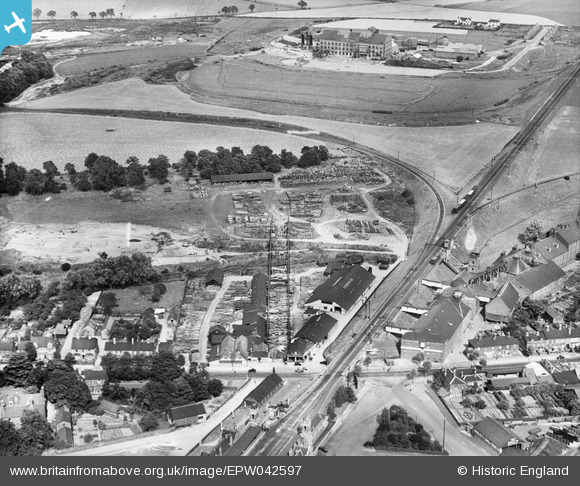
EPW042597 ENGLAND (1933). William Mallinson and Sons Timber Yard, Bury St Edmunds, 1933
© Copyright OpenStreetMap contributors and licensed by the OpenStreetMap Foundation. 2025. Cartography is licensed as CC BY-SA.
Nearby Images (7)
EPW042597

EPW042599

EPW042598

EPW042595

EPW042596

EPW042623

EPW042600

Details
| Title | [EPW042597] William Mallinson and Sons Timber Yard, Bury St Edmunds, 1933 |
| Reference | EPW042597 |
| Date | August-1933 |
| Link | |
| Place name | BURY ST EDMUNDS |
| Parish | BURY ST. EDMUNDS |
| District | |
| Country | ENGLAND |
| Easting / Northing | 585540, 265273 |
| Longitude / Latitude | 0.7185939390461, 52.253898692938 |
| National Grid Reference | TL855653 |
Pins

MB |
Friday 5th of February 2021 07:35:14 PM | |
|
MB |
Friday 5th of February 2021 07:34:40 PM | |
|
MB |
Friday 5th of February 2021 07:33:26 PM | |
|
MB |
Friday 5th of February 2021 07:32:21 PM | |
|
MB |
Friday 5th of February 2021 07:31:41 PM | |
|
MB |
Friday 5th of February 2021 07:31:04 PM | |
|
MB |
Friday 5th of February 2021 07:30:36 PM | |
|
MB |
Friday 5th of February 2021 07:30:09 PM | |
|
MB |
Friday 5th of February 2021 07:29:22 PM |