
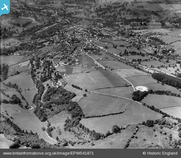
EPW041871 ENGLAND (1933). Stroud Hill, Bisley Road and environs, Stroud, from the east, 1933
© Copyright OpenStreetMap contributors and licensed by the OpenStreetMap Foundation. 2025. Cartography is licensed as CC BY-SA.
Nearby Images (2)
EPW041871

EPW041870

Details
| Title | [EPW041871] Stroud Hill, Bisley Road and environs, Stroud, from the east, 1933 |
| Reference | EPW041871 |
| Date | June-1933 |
| Link | |
| Place name | STROUD |
| Parish | STROUD |
| District | |
| Country | ENGLAND |
| Easting / Northing | 386867, 205028 |
| Longitude / Latitude | -2.1902346564048, 51.743344480004 |
| National Grid Reference | SO869050 |
Pins
 Adderseeker |
Saturday 29th of March 2014 09:48:23 AM | |
Adderseeker |
Sunday 23rd of March 2014 10:12:23 PM | |
Adderseeker |
Sunday 23rd of March 2014 10:11:31 PM | |
Adderseeker |
Sunday 23rd of March 2014 10:10:01 PM | |
Adderseeker |
Sunday 23rd of March 2014 10:04:23 PM | |
Adderseeker |
Sunday 23rd of March 2014 10:01:14 PM |