
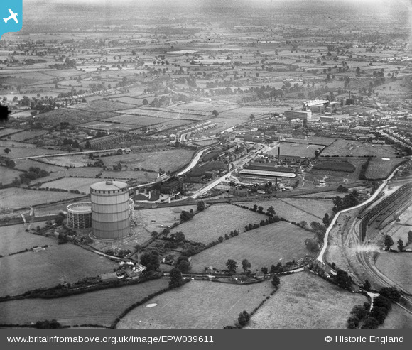
EPW039611 ENGLAND (1932). Coventry Corporation Gas Works and environs, Longford, from the north-west, 1932
© Copyright OpenStreetMap contributors and licensed by the OpenStreetMap Foundation. 2025. Cartography is licensed as CC BY-SA.
Details
| Title | [EPW039611] Coventry Corporation Gas Works and environs, Longford, from the north-west, 1932 |
| Reference | EPW039611 |
| Date | August-1932 |
| Link | |
| Place name | LONGFORD |
| Parish | |
| District | |
| Country | ENGLAND |
| Easting / Northing | 434240, 283601 |
| Longitude / Latitude | -1.496136788883, 52.448921649739 |
| National Grid Reference | SP342836 |
