
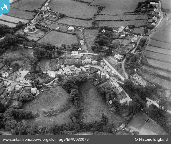
EPW033079 ENGLAND (1930). Bottreaux Castle and environs, Boscastle, 1930
© Copyright OpenStreetMap contributors and licensed by the OpenStreetMap Foundation. 2025. Cartography is licensed as CC BY-SA.
Details
| Title | [EPW033079] Bottreaux Castle and environs, Boscastle, 1930 |
| Reference | EPW033079 |
| Date | July-1930 |
| Link | |
| Place name | BOSCASTLE |
| Parish | FORRABURY AND MINSTER |
| District | |
| Country | ENGLAND |
| Easting / Northing | 209827, 90827 |
| Longitude / Latitude | -4.6924792990177, 50.685395219848 |
| National Grid Reference | SX098908 |
Pins
Be the first to add a comment to this image!