
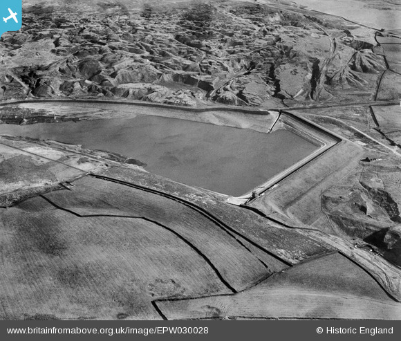
EPW030028 ENGLAND (1929). Hurstwood Reservoir and Worsthorne Quarries, Hurstwood, 1929
© Copyright OpenStreetMap contributors and licensed by the OpenStreetMap Foundation. 2026. Cartography is licensed as CC BY-SA.
Details
| Title | [EPW030028] Hurstwood Reservoir and Worsthorne Quarries, Hurstwood, 1929 |
| Reference | EPW030028 |
| Date | October-1929 |
| Link | |
| Place name | HURSTWOOD |
| Parish | WORSTHORNE-WITH-HURSTWOOD |
| District | |
| Country | ENGLAND |
| Easting / Northing | 388728, 431616 |
| Longitude / Latitude | -2.1710796158979, 53.780534153584 |
| National Grid Reference | SD887316 |
Pins
Be the first to add a comment to this image!