
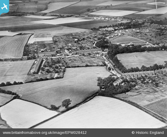
EPW028412 ENGLAND (1929). Burton End, Haverhill, 1929. This image has been produced from a copy-negative.
© Copyright OpenStreetMap contributors and licensed by the OpenStreetMap Foundation. 2025. Cartography is licensed as CC BY-SA.
Details
| Title | [EPW028412] Burton End, Haverhill, 1929. This image has been produced from a copy-negative. |
| Reference | EPW028412 |
| Date | August-1929 |
| Link | |
| Place name | HAVERHILL |
| Parish | HAVERHILL |
| District | |
| Country | ENGLAND |
| Easting / Northing | 566664, 245268 |
| Longitude / Latitude | 0.43247784902516, 52.080229402609 |
| National Grid Reference | TL667453 |
Pins
Be the first to add a comment to this image!