
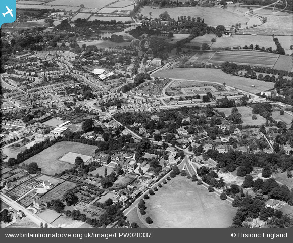
EPW028337 ENGLAND (1929). Portmore Park and environs, Weybridge, 1929
© Copyright OpenStreetMap contributors and licensed by the OpenStreetMap Foundation. 2025. Cartography is licensed as CC BY-SA.
Nearby Images (3)
EPW028337

EPW023385

EPW023384

Details
| Title | [EPW028337] Portmore Park and environs, Weybridge, 1929 |
| Reference | EPW028337 |
| Date | August-1929 |
| Link | |
| Place name | WEYBRIDGE |
| Parish | |
| District | |
| Country | ENGLAND |
| Easting / Northing | 507758, 164936 |
| Longitude / Latitude | -0.4516936157919, 51.372744946363 |
| National Grid Reference | TQ078649 |
Pins
 bumblee |
Thursday 29th of December 2016 05:04:22 PM | |
mpg |
Sunday 10th of August 2014 09:53:23 PM | |
mpg |
Sunday 10th of August 2014 09:45:59 PM | |
mpg |
Sunday 10th of August 2014 01:45:32 PM | |
mpg |
Sunday 10th of August 2014 01:42:05 PM |