
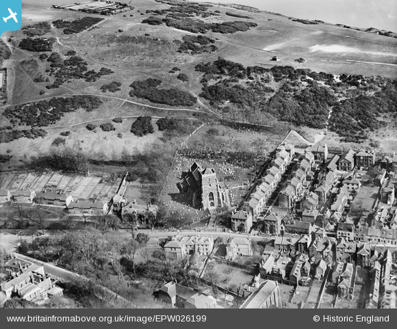
EPW026199 ENGLAND (1929). All Saints Church and East Hill, Hastings, 1929
© Copyright OpenStreetMap contributors and licensed by the OpenStreetMap Foundation. 2026. Cartography is licensed as CC BY-SA.
Nearby Images (2)
EPW026199

EPW000107

Details
| Title | [EPW026199] All Saints Church and East Hill, Hastings, 1929 |
| Reference | EPW026199 |
| Date | 24-April-1929 |
| Link | |
| Place name | HASTINGS |
| Parish | |
| District | |
| Country | ENGLAND |
| Easting / Northing | 582874, 109850 |
| Longitude / Latitude | 0.59871386241143, 50.858645639022 |
| National Grid Reference | TQ829099 |
