
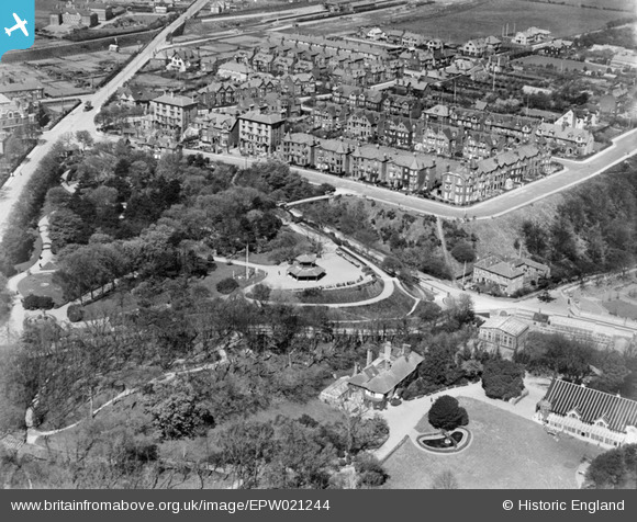
EPW021244 ENGLAND (1928). Bellevue Park, Lowestoft, 1928
© Copyright OpenStreetMap contributors and licensed by the OpenStreetMap Foundation. 2025. Cartography is licensed as CC BY-SA.
Nearby Images (3)
EPW021244

EPW016551

EPW021241

Details
| Title | [EPW021244] Bellevue Park, Lowestoft, 1928 |
| Reference | EPW021244 |
| Date | May-1928 |
| Link | |
| Place name | LOWESTOFT |
| Parish | |
| District | |
| Country | ENGLAND |
| Easting / Northing | 655030, 294482 |
| Longitude / Latitude | 1.7569486216506, 52.488156609942 |
| National Grid Reference | TM550945 |
Pins

Eddy |
Wednesday 19th of August 2020 02:39:12 PM | |
|
Eddy |
Wednesday 19th of August 2020 02:36:46 PM | |
|
Eddy |
Wednesday 19th of August 2020 02:35:22 PM | |
|
Eddy |
Wednesday 19th of August 2020 02:31:13 PM | |
|
c.c |
Tuesday 2nd of September 2014 02:39:25 PM | |
|
Brightonboy |
Sunday 2nd of June 2013 10:56:54 PM | |
|
Brightonboy |
Sunday 2nd of June 2013 10:55:48 PM | |
|
Brightonboy |
Sunday 2nd of June 2013 10:54:12 PM | |
|
Jet48 |
Friday 3rd of May 2013 07:29:57 PM |
User Comment Contributions
I'm having difficulty in making out the railway line at top of photo. What does a magnified image of North Parade look like? |
Where's Canning Town? |
Saturday 30th of June 2012 08:41:59 PM |