
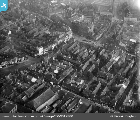
EPW019860 ENGLAND (1927). The town centre, Darlington, 1927
© Copyright OpenStreetMap contributors and licensed by the OpenStreetMap Foundation. 2025. Cartography is licensed as CC BY-SA.
Nearby Images (6)
EPW019860

EPW019856

EPW029542

EPW019853

EPW019854

EPW019861

Details
| Title | [EPW019860] The town centre, Darlington, 1927 |
| Reference | EPW019860 |
| Date | October-1927 |
| Link | |
| Place name | DARLINGTON |
| Parish | |
| District | |
| Country | ENGLAND |
| Easting / Northing | 428817, 514598 |
| Longitude / Latitude | -1.5547049670537, 54.525718591763 |
| National Grid Reference | NZ288146 |
