
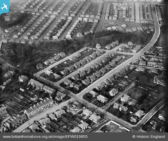
EPW019855 ENGLAND (1927). Pierremont Road and environs, Darlington, 1927
© Copyright OpenStreetMap contributors and licensed by the OpenStreetMap Foundation. 2025. Cartography is licensed as CC BY-SA.
Details
| Title | [EPW019855] Pierremont Road and environs, Darlington, 1927 |
| Reference | EPW019855 |
| Date | October-1927 |
| Link | |
| Place name | DARLINGTON |
| Parish | |
| District | |
| Country | ENGLAND |
| Easting / Northing | 427757, 515272 |
| Longitude / Latitude | -1.5710206054776, 54.531835469689 |
| National Grid Reference | NZ278153 |
Pins

Ptr |
Monday 4th of November 2024 08:18:22 PM | |
|
John D Brad |
Monday 8th of July 2013 05:47:37 AM | |

Class31 |
Monday 9th of July 2012 10:28:20 AM | |
|
Class31 |
Monday 9th of July 2012 10:26:09 AM | |
|
Class31 |
Monday 9th of July 2012 10:25:25 AM | |
|
Class31 |
Monday 9th of July 2012 10:24:44 AM | |
|
Class31 |
Monday 9th of July 2012 10:24:01 AM | |
|
Class31 |
Monday 9th of July 2012 10:23:22 AM |