
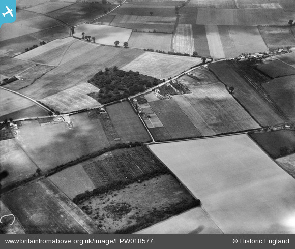
EPW018577 ENGLAND (1927). Fisher's Wood and Sharnal Street, High Halstow, 1927
© Copyright OpenStreetMap contributors and licensed by the OpenStreetMap Foundation. 2025. Cartography is licensed as CC BY-SA.
Details
| Title | [EPW018577] Fisher's Wood and Sharnal Street, High Halstow, 1927 |
| Reference | EPW018577 |
| Date | 22-June-1927 |
| Link | |
| Place name | HIGH HALSTOW |
| Parish | HIGH HALSTOW |
| District | |
| Country | ENGLAND |
| Easting / Northing | 579599, 174952 |
| Longitude / Latitude | 0.58471497337495, 51.444548455333 |
| National Grid Reference | TQ796750 |
Pins
Be the first to add a comment to this image!