
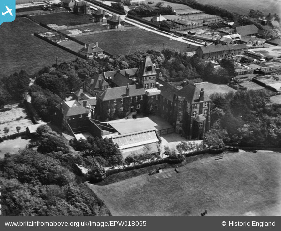
EPW018065 ENGLAND (1927). Rottingdean Preparatory School on Falmer Road, Rottingdean, 1927
© Copyright OpenStreetMap contributors and licensed by the OpenStreetMap Foundation. 2026. Cartography is licensed as CC BY-SA.
Details
| Title | [EPW018065] Rottingdean Preparatory School on Falmer Road, Rottingdean, 1927 |
| Reference | EPW018065 |
| Date | May-1927 |
| Link | |
| Place name | ROTTINGDEAN |
| Parish | ROTTINGDEAN |
| District | |
| Country | ENGLAND |
| Easting / Northing | 536732, 102894 |
| Longitude / Latitude | -0.059108141464245, 50.808878305014 |
| National Grid Reference | TQ367029 |
Pins
Be the first to add a comment to this image!