
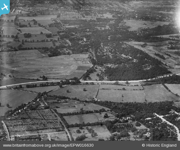
EPW016630 ENGLAND (1926). Maldon Golf Course and Coombe, New Malden, from the east, 1926
© Copyright OpenStreetMap contributors and licensed by the OpenStreetMap Foundation. 2025. Cartography is licensed as CC BY-SA.
Nearby Images (3)
EPW016630

EPW057206

EPW057213

Details
| Title | [EPW016630] Maldon Golf Course and Coombe, New Malden, from the east, 1926 |
| Reference | EPW016630 |
| Date | August-1926 |
| Link | |
| Place name | NEW MALDEN |
| Parish | |
| District | |
| Country | ENGLAND |
| Easting / Northing | 522053, 170025 |
| Longitude / Latitude | -0.24464497342347, 51.415593871411 |
| National Grid Reference | TQ221700 |
Pins

Dom |
Tuesday 7th of April 2020 12:09:51 PM | |
|
Arthur |
Thursday 9th of June 2016 10:43:09 AM | |
|
Arthur |
Thursday 9th of June 2016 10:41:44 AM | |
|
Arthur |
Thursday 9th of June 2016 10:41:10 AM | |
|
Arthur |
Thursday 9th of June 2016 10:39:40 AM | |
|
Arthur |
Thursday 9th of June 2016 10:38:42 AM | |
|
Arthur |
Thursday 9th of June 2016 10:38:25 AM | |
|
Arthur |
Thursday 9th of June 2016 10:37:03 AM | |
|
Arthur |
Thursday 9th of June 2016 10:36:41 AM | |
|
Arthur |
Thursday 9th of June 2016 10:35:45 AM |
User Comment Contributions
Malden Golf Course |
royalfixit |
Tuesday 26th of June 2012 07:05:40 AM |