
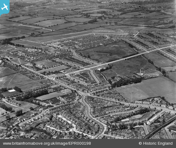
EPR000198 ENGLAND (1934). The Tithe Farm Housing Estate, South Harrow, 1934
© Copyright OpenStreetMap contributors and licensed by the OpenStreetMap Foundation. 2025. Cartography is licensed as CC BY-SA.
Nearby Images (5)
EPR000198

EPR000200A

EPW040817

EPW040818

EPR000197

Details
| Title | [EPR000198] The Tithe Farm Housing Estate, South Harrow, 1934 |
| Reference | EPR000198 |
| Date | 17-July-1934 |
| Link | |
| Place name | SOUTH HARROW |
| Parish | |
| District | |
| Country | ENGLAND |
| Easting / Northing | 513278, 186499 |
| Longitude / Latitude | -0.36550099228772, 51.565498144734 |
| National Grid Reference | TQ133865 |
Pins

SK |
Saturday 8th of February 2020 11:44:54 AM | |
|
SK |
Saturday 8th of February 2020 11:43:56 AM | |
|
SK |
Saturday 8th of February 2020 11:43:23 AM | |
|
SK |
Saturday 8th of February 2020 11:42:43 AM | |
|
SK |
Saturday 8th of February 2020 11:41:46 AM | |
|
SK |
Saturday 8th of February 2020 11:40:52 AM | |
|
SK |
Saturday 8th of February 2020 11:40:20 AM | |
|
SK |
Saturday 8th of February 2020 11:39:00 AM | |
|
SK |
Saturday 8th of February 2020 11:38:14 AM | |
|
SK |
Saturday 8th of February 2020 11:37:43 AM | |
|
SK |
Saturday 8th of February 2020 11:37:09 AM |