
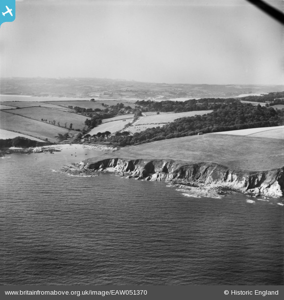
EAW051370 ENGLAND (1953). Lankelly Cliff, Southground Point and Polridmouth, Fowey, from the south-east, 1953
© Copyright OpenStreetMap contributors and licensed by the OpenStreetMap Foundation. 2026. Cartography is licensed as CC BY-SA.
Details
| Title | [EAW051370] Lankelly Cliff, Southground Point and Polridmouth, Fowey, from the south-east, 1953 |
| Reference | EAW051370 |
| Date | 11-August-1953 |
| Link | |
| Place name | FOWEY |
| Parish | FOWEY |
| District | |
| Country | ENGLAND |
| Easting / Northing | 210673, 50154 |
| Longitude / Latitude | -4.6598954754156, 50.320253965435 |
| National Grid Reference | SX107502 |
Pins
Be the first to add a comment to this image!