
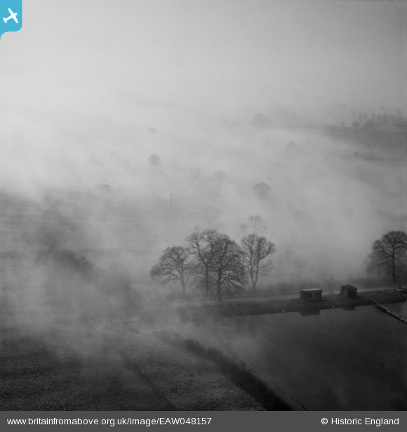
EAW048157 ENGLAND (1953). Fog blanketing fields to the south of Boddington Reservoir, Byfield, from the north-east, 1953
© Copyright OpenStreetMap contributors and licensed by the OpenStreetMap Foundation. 2025. Cartography is licensed as CC BY-SA.
Nearby Images (6)
EAW048157

EAW048156

EAW048158

EAW048159

EAW048151

EAW048154

Details
| Title | [EAW048157] Fog blanketing fields to the south of Boddington Reservoir, Byfield, from the north-east, 1953 |
| Reference | EAW048157 |
| Date | 18-January-1953 |
| Link | |
| Place name | BYFIELD |
| Parish | BYFIELD |
| District | |
| Country | ENGLAND |
| Easting / Northing | 449748, 252472 |
| Longitude / Latitude | -1.2725458626577, 52.167862886281 |
| National Grid Reference | SP497525 |
Pins
Be the first to add a comment to this image!