
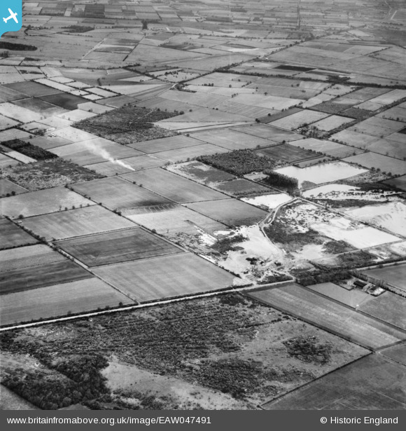
EAW047491 ENGLAND (1952). Quarry off Wroot Road and environs, Blaxton, 1952
© Copyright OpenStreetMap contributors and licensed by the OpenStreetMap Foundation. 2025. Cartography is licensed as CC BY-SA.
Nearby Images (4)
EAW047491

EAW049684

EAW049676

EAW049680

Details
| Title | [EAW047491] Quarry off Wroot Road and environs, Blaxton, 1952 |
| Reference | EAW047491 |
| Date | 10-October-1952 |
| Link | |
| Place name | BLAXTON |
| Parish | BLAXTON |
| District | |
| Country | ENGLAND |
| Easting / Northing | 468430, 401063 |
| Longitude / Latitude | -0.96822568510139, 53.501555108841 |
| National Grid Reference | SE684011 |
Pins
 rossobantam |
Monday 4th of May 2015 05:55:05 PM | |
rossobantam |
Monday 4th of May 2015 05:54:39 PM | |
rossobantam |
Monday 4th of May 2015 05:53:08 PM | |
rossobantam |
Monday 4th of May 2015 05:52:32 PM | |
rossobantam |
Monday 4th of May 2015 05:51:52 PM | |
rossobantam |
Monday 4th of May 2015 05:51:14 PM | |
rossobantam |
Monday 4th of May 2015 05:49:34 PM |