
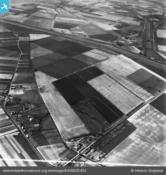
EAW035452 ENGLAND (1951). Fenland between Walpole Marsh and Foul Anchor, Sutton Bridge, 1951. This image has been produced from a print.
© Copyright OpenStreetMap contributors and licensed by the OpenStreetMap Foundation. 2025. Cartography is licensed as CC BY-SA.
Details
| Title | [EAW035452] Fenland between Walpole Marsh and Foul Anchor, Sutton Bridge, 1951. This image has been produced from a print. |
| Reference | EAW035452 |
| Date | 17-April-1951 |
| Link | |
| Place name | SUTTON BRIDGE |
| Parish | SUTTON BRIDGE |
| District | |
| Country | ENGLAND |
| Easting / Northing | 547502, 317741 |
| Longitude / Latitude | 0.18499163716809, 52.736812832798 |
| National Grid Reference | TF475177 |
Pins
 Peter |
Thursday 2nd of January 2025 06:41:53 AM | |
ChrisB |
Wednesday 6th of May 2015 04:54:45 PM | |
ChrisB |
Wednesday 6th of May 2015 04:51:59 PM | |
ChrisB |
Wednesday 6th of May 2015 04:50:52 PM | |
ChrisB |
Wednesday 6th of May 2015 04:49:50 PM |