
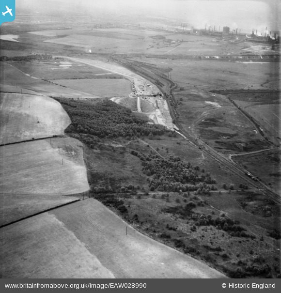
EAW028990 ENGLAND (1950). Sheffield's Plantation, the Dragonby Ironstone Mine and environs, Flixborough, from the north-east, 1950
© Copyright OpenStreetMap contributors and licensed by the OpenStreetMap Foundation. 2025. Cartography is licensed as CC BY-SA.
Details
| Title | [EAW028990] Sheffield's Plantation, the Dragonby Ironstone Mine and environs, Flixborough, from the north-east, 1950 |
| Reference | EAW028990 |
| Date | 8-May-1950 |
| Link | |
| Place name | FLIXBOROUGH |
| Parish | FLIXBOROUGH |
| District | |
| Country | ENGLAND |
| Easting / Northing | 490807, 415215 |
| Longitude / Latitude | -0.62680888648959, 53.625348566042 |
| National Grid Reference | SE908152 |
