
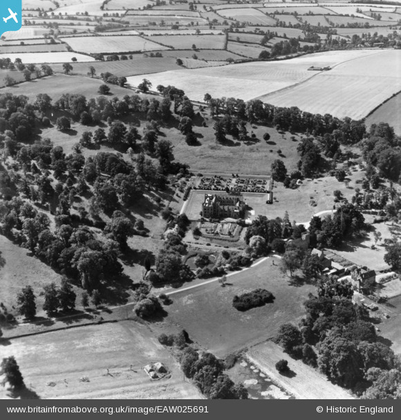
EAW025691 ENGLAND (1949). Compton Wynyates House, Compton Wynyates, 1949. This image has been produced from a print.
© Copyright OpenStreetMap contributors and licensed by the OpenStreetMap Foundation. 2025. Cartography is licensed as CC BY-SA.
Nearby Images (10)
EAW025691

EAW025692

EAW015429

EAW015430

EAW015432

EAW025693

EAW015431

EAW025690

EAW025695

EAW025694

Details
| Title | [EAW025691] Compton Wynyates House, Compton Wynyates, 1949. This image has been produced from a print. |
| Reference | EAW025691 |
| Date | 4-August-1949 |
| Link | |
| Place name | COMPTON WYNYATES |
| Parish | COMPTON WYNYATES |
| District | |
| Country | ENGLAND |
| Easting / Northing | 433102, 241817 |
| Longitude / Latitude | -1.5169816667524, 52.07331106542 |
| National Grid Reference | SP331418 |
Pins
Be the first to add a comment to this image!