
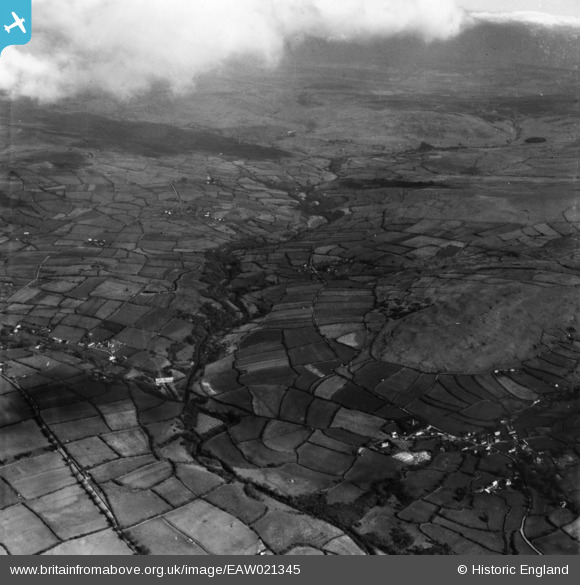
EAW021345 ENGLAND (1949). The River Tavy, Smeardon Down and the village, Peter Tavy, from the south-west, 1949. This image has been produced from a print.
© Copyright OpenStreetMap contributors and licensed by the OpenStreetMap Foundation. 2025. Cartography is licensed as CC BY-SA.
Nearby Images (2)
EAW021345

EAW021343

Details
| Title | [EAW021345] The River Tavy, Smeardon Down and the village, Peter Tavy, from the south-west, 1949. This image has been produced from a print. |
| Reference | EAW021345 |
| Date | 11-March-1949 |
| Link | |
| Place name | PETER TAVY |
| Parish | PETER TAVY |
| District | |
| Country | ENGLAND |
| Easting / Northing | 251162, 78121 |
| Longitude / Latitude | -4.1026329933311, 50.583242793277 |
| National Grid Reference | SX512781 |
Pins
Be the first to add a comment to this image!