
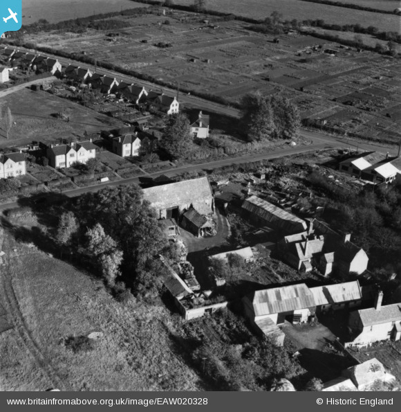
EAW020328 ENGLAND (1948). Oliver Cromwell's Barn, St Ives, 1948. This image has been produced from a print.
© Copyright OpenStreetMap contributors and licensed by the OpenStreetMap Foundation. 2025. Cartography is licensed as CC BY-SA.
Details
| Title | [EAW020328] Oliver Cromwell's Barn, St Ives, 1948. This image has been produced from a print. |
| Reference | EAW020328 |
| Date | 4-November-1948 |
| Link | |
| Place name | ST IVES |
| Parish | SAINT IVES |
| District | |
| Country | ENGLAND |
| Easting / Northing | 531070, 272228 |
| Longitude / Latitude | -0.076223834962197, 52.332075438426 |
| National Grid Reference | TL311722 |
Pins
Be the first to add a comment to this image!