
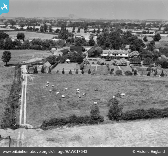
EAW017643 ENGLAND (1948). Ilmer House and the village, Ilmer, from the south-east, 1948. This image has been produced from a print.
© Copyright OpenStreetMap contributors and licensed by the OpenStreetMap Foundation. 2025. Cartography is licensed as CC BY-SA.
Nearby Images (8)
EAW017643

EAW017642

EAW017635

EAW017641

EAW017645

EAW017636

EAW017644

EAW017646

Details
| Title | [EAW017643] Ilmer House and the village, Ilmer, from the south-east, 1948. This image has been produced from a print. |
| Reference | EAW017643 |
| Date | 26-July-1948 |
| Link | |
| Place name | ILMER |
| Parish | LONGWICK-CUM-ILMER |
| District | |
| Country | ENGLAND |
| Easting / Northing | 477022, 205294 |
| Longitude / Latitude | -0.88436966179139, 51.740595426488 |
| National Grid Reference | SP770053 |
Pins
Be the first to add a comment to this image!