
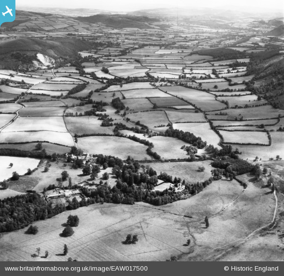
EAW017500 ENGLAND (1948). Knill village and the Hindwell Valley, Knill, from the south-west, 1948. This image has been produced from a print.
© Copyright OpenStreetMap contributors and licensed by the OpenStreetMap Foundation. 2025. Cartography is licensed as CC BY-SA.
Details
| Title | [EAW017500] Knill village and the Hindwell Valley, Knill, from the south-west, 1948. This image has been produced from a print. |
| Reference | EAW017500 |
| Date | 22-July-1948 |
| Link | |
| Place name | KNILL |
| Parish | KNILL |
| District | |
| Country | ENGLAND |
| Easting / Northing | 329065, 260427 |
| Longitude / Latitude | -3.0388866629833, 52.237061051459 |
| National Grid Reference | SO291604 |
Pins
Be the first to add a comment to this image!