
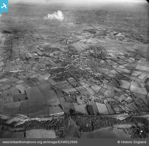
EAW012996 ENGLAND (1948). The town and surrounding countryside, Street, from the south-west, 1948
© Copyright OpenStreetMap contributors and licensed by the OpenStreetMap Foundation. 2025. Cartography is licensed as CC BY-SA.
Details
| Title | [EAW012996] The town and surrounding countryside, Street, from the south-west, 1948 |
| Reference | EAW012996 |
| Date | 22-January-1948 |
| Link | |
| Place name | STREET |
| Parish | STREET |
| District | |
| Country | ENGLAND |
| Easting / Northing | 347594, 134963 |
| Longitude / Latitude | -2.7487121713359, 51.111033819752 |
| National Grid Reference | ST476350 |
Pins
Be the first to add a comment to this image!