
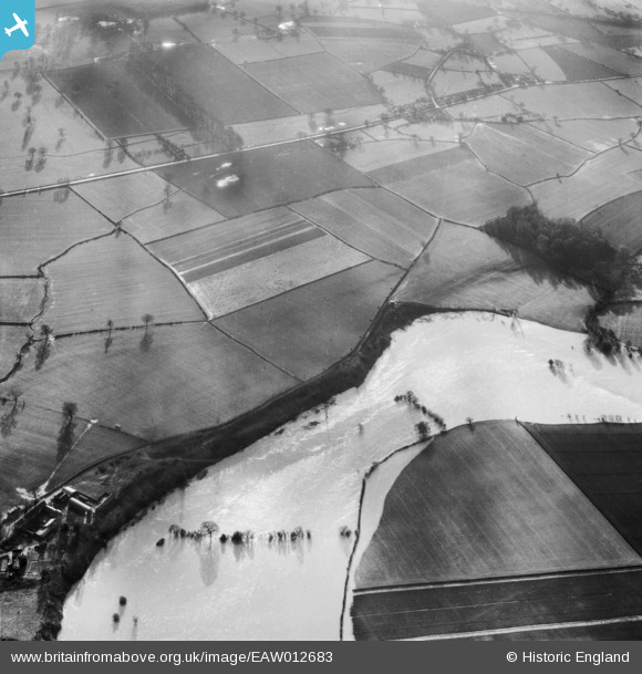
EAW012683 ENGLAND (1948). The River Severn in flood at Preston Rough, Preston Montford, 1948
© Copyright OpenStreetMap contributors and licensed by the OpenStreetMap Foundation. 2025. Cartography is licensed as CC BY-SA.
Details
| Title | [EAW012683] The River Severn in flood at Preston Rough, Preston Montford, 1948 |
| Reference | EAW012683 |
| Date | 14-January-1948 |
| Link | |
| Place name | PRESTON MONTFORD |
| Parish | BICTON |
| District | |
| Country | ENGLAND |
| Easting / Northing | 342738, 313822 |
| Longitude / Latitude | -2.8478409290794, 52.718676354578 |
| National Grid Reference | SJ427138 |
Pins
Be the first to add a comment to this image!