
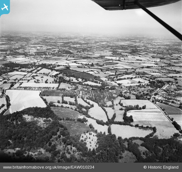
EAW010234 ENGLAND (1947). Pilgrims' Hall and the village, Pilgrims Hatch, from the south, 1947
© Copyright OpenStreetMap contributors and licensed by the OpenStreetMap Foundation. 2025. Cartography is licensed as CC BY-SA.
Details
| Title | [EAW010234] Pilgrims' Hall and the village, Pilgrims Hatch, from the south, 1947 |
| Reference | EAW010234 |
| Date | 12-August-1947 |
| Link | |
| Place name | PILGRIMS HATCH |
| Parish | |
| District | |
| Country | ENGLAND |
| Easting / Northing | 557364, 195279 |
| Longitude / Latitude | 0.27409618024171, 51.633810172912 |
| National Grid Reference | TQ574953 |
Pins

John W |
Sunday 24th of November 2019 10:12:39 PM | |
|
John W |
Sunday 24th of November 2019 10:09:36 PM | |
|
John W |
Sunday 24th of November 2019 09:53:44 PM | |
|
John W |
Sunday 24th of November 2019 09:53:05 PM | |
|
John W |
Sunday 24th of November 2019 09:51:45 PM | |
|
John W |
Sunday 24th of November 2019 09:51:01 PM | |
|
John W |
Sunday 24th of November 2019 09:49:34 PM | |
|
John W |
Sunday 24th of November 2019 09:48:48 PM |