
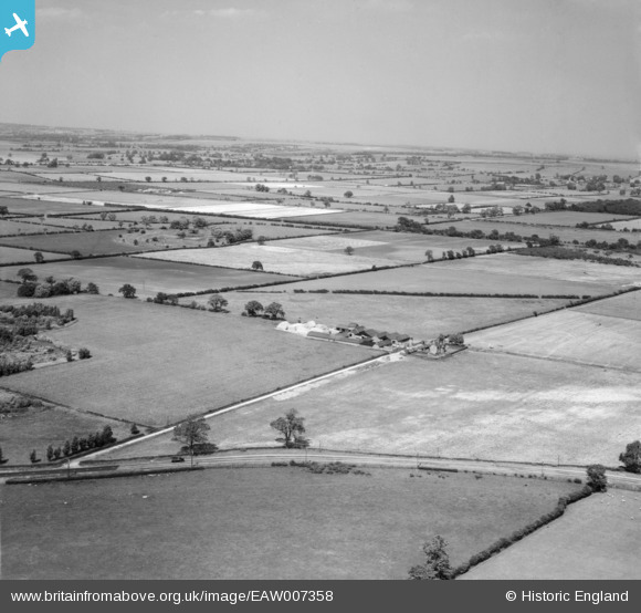
EAW007358 ENGLAND (1947). Tower Farm and Burton Fen, Odder, from the south-west, 1947
© Copyright OpenStreetMap contributors and licensed by the OpenStreetMap Foundation. 2025. Cartography is licensed as CC BY-SA.
Nearby Images (2)
EAW007358

EAW007355

Details
| Title | [EAW007358] Tower Farm and Burton Fen, Odder, from the south-west, 1947 |
| Reference | EAW007358 |
| Date | 24-June-1947 |
| Link | |
| Place name | ODDER |
| Parish | BURTON |
| District | |
| Country | ENGLAND |
| Easting / Northing | 492786, 374586 |
| Longitude / Latitude | -0.6088729113517, 53.259873872999 |
| National Grid Reference | SK928746 |
Pins
Be the first to add a comment to this image!