
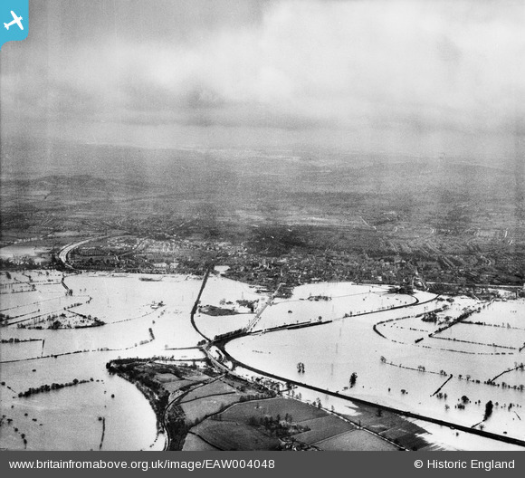
EAW004048 ENGLAND (1947). Flooding along the River Severn to the north of Gloucester, Alney Island, from the north-west, 1947
© Copyright OpenStreetMap contributors and licensed by the OpenStreetMap Foundation. 2026. Cartography is licensed as CC BY-SA.
Details
| Title | [EAW004048] Flooding along the River Severn to the north of Gloucester, Alney Island, from the north-west, 1947 |
| Reference | EAW004048 |
| Date | 21-March-1947 |
| Link | |
| Place name | ALNEY ISLAND |
| Parish | |
| District | |
| Country | ENGLAND |
| Easting / Northing | 381979, 219290 |
| Longitude / Latitude | -2.2617796528039, 51.871451633781 |
| National Grid Reference | SO820193 |
Pins
Be the first to add a comment to this image!