
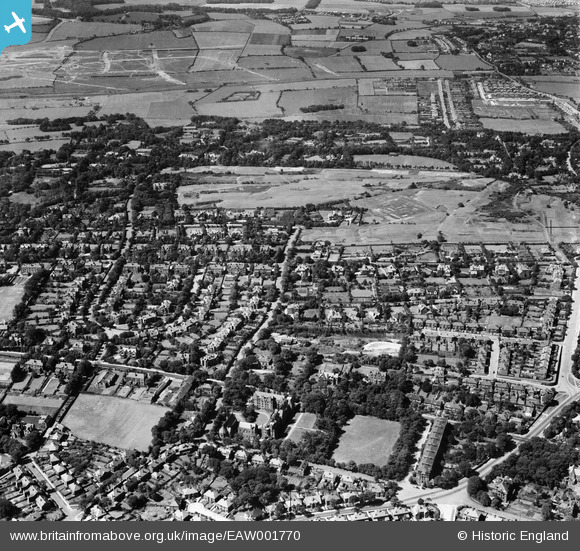
EAW001770 ENGLAND (1946). Howbeck Road, St Aidan's Theological College, the Wirral Ladies' Golf Course and environs, Claughton, 1946
© Copyright OpenStreetMap contributors and licensed by the OpenStreetMap Foundation. 2025. Cartography is licensed as CC BY-SA.
Details
| Title | [EAW001770] Howbeck Road, St Aidan's Theological College, the Wirral Ladies' Golf Course and environs, Claughton, 1946 |
| Reference | EAW001770 |
| Date | 11-July-1946 |
| Link | |
| Place name | CLAUGHTON |
| Parish | |
| District | |
| Country | ENGLAND |
| Easting / Northing | 329642, 388458 |
| Longitude / Latitude | -3.0580199883312, 53.38800686619 |
| National Grid Reference | SJ296885 |
Pins

Kylix |
Friday 14th of February 2025 08:24:45 PM | |
|
redmist |
Sunday 6th of October 2019 01:18:23 PM | |
|
redmist |
Sunday 6th of October 2019 01:09:05 PM | |
|
Graham |
Tuesday 25th of July 2017 03:00:58 PM | |
|
Graham |
Tuesday 25th of July 2017 03:00:28 PM | |
|
Graham |
Tuesday 25th of July 2017 02:59:55 PM | |
|
Graham |
Tuesday 25th of July 2017 02:59:26 PM | |
|
Graham |
Sunday 12th of February 2017 10:50:24 AM | |
|
Graham |
Sunday 12th of February 2017 10:49:34 AM | |
|
Graham |
Sunday 12th of February 2017 10:48:08 AM | |
|
BobH |
Friday 8th of July 2016 09:08:33 AM | |
|
hughes di |
Tuesday 21st of January 2014 06:53:16 PM | |
|
hughes di |
Tuesday 21st of January 2014 06:52:42 PM |