
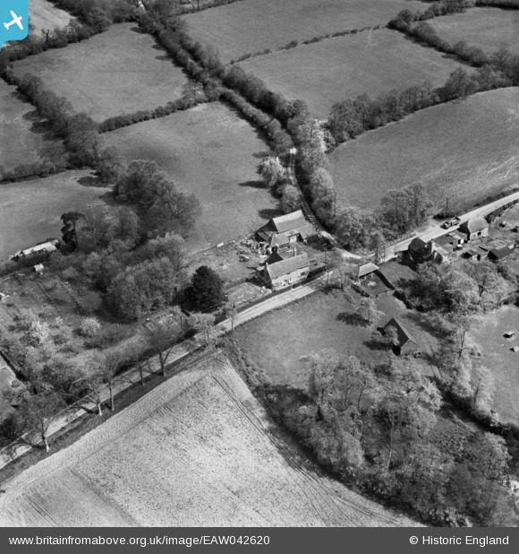
eaw042620 ENGLAND (1952). Gotwick Farm, East Grinstead, 1952
© Copyright OpenStreetMap contributors and licensed by the OpenStreetMap Foundation. 2025. Cartography is licensed as CC BY-SA.
Details
| Title | [EAW042620] Gotwick Farm, East Grinstead, 1952 |
| Reference | EAW042620 |
| Date | 22-April-1952 |
| Link | |
| Place name | EAST GRINSTEAD |
| Parish | EAST GRINSTEAD |
| District | |
| Country | ENGLAND |
| Easting / Northing | 541809, 139471 |
| Longitude / Latitude | 0.027179140633955, 51.136401553884 |
| National Grid Reference | TQ418395 |
Pins
Be the first to add a comment to this image!