
Downtime message
Due to planned maintenance taking place on Thursday 9th October between 9:00 AM and 1:00 PM, services might be disrupted or temporarily unavailable. We apologise for any inconvenience.
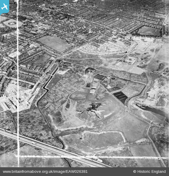
eaw026381 ENGLAND (1949). The East Ham Sewage Works and environs, East Ham, 1949. This image was marked by Aerofilms Ltd for photo editing.
© Copyright OpenStreetMap contributors and licensed by the OpenStreetMap Foundation. 2025. Cartography is licensed as CC BY-SA.
Nearby Images (9)
EAW026381

EAW026379
, East Ham, 1949. This image has been produced from a damaged negative.")
EAW026387

EAW026380

EAW043569

EAW026382

EAW026388

EAW026384

EAW026383

Details
| Title | [EAW026381] The East Ham Sewage Works and environs, East Ham, 1949. This image was marked by Aerofilms Ltd for photo editing. |
| Reference | EAW026381 |
| Date | 5-September-1949 |
| Link | |
| Place name | EAST HAM |
| Parish | |
| District | |
| Country | ENGLAND |
| Easting / Northing | 543631, 183095 |
| Longitude / Latitude | 0.070800040508995, 51.527993474697 |
| National Grid Reference | TQ436831 |
Pins

redmist |
Saturday 6th of November 2021 10:47:09 PM |