
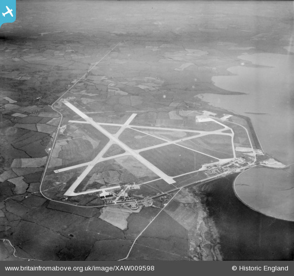
XAW009598 IRELAND (1947). Shannon Airport , Shannon, Clare, Ireland, 1947. Oblique aerial photograph taken facing North/East.
© Copyright OpenStreetMap contributors and licensed by the OpenStreetMap Foundation. 2025. Cartography is licensed as CC BY-SA.
Details
| Title | [XAW009598] Shannon Airport , Shannon, Clare, Ireland, 1947. Oblique aerial photograph taken facing North/East. |
| Reference | XAW009598 |
| Date | 15-August-1947 |
| Link | |
| Place name | SHANNON |
| Parish | IRELAND |
| District | |
| Country | IRELAND |
| Easting / Northing | -66383, 333774 |
| Longitude / Latitude | -8.907416, 52.699908 |
| National Grid Reference |
Pins
Be the first to add a comment to this image!