
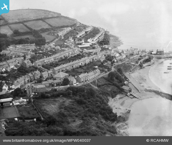
WPW040037 WALES (1932). General view of New Quay, oblique aerial view. 5"x4" black and white glass plate negative.
© Copyright OpenStreetMap contributors and licensed by the OpenStreetMap Foundation. 2026. Cartography is licensed as CC BY-SA.
Details
| Title | [WPW040037] General view of New Quay, oblique aerial view. 5"x4" black and white glass plate negative. |
| Reference | WPW040037 |
| Date | 1932 |
| Link | Coflein Archive Item 6369650 |
| Place name | |
| Parish | |
| District | |
| Country | WALES |
| Easting / Northing | 238823, 259953 |
| Longitude / Latitude | -4.359435613151, 52.213782812422 |
| National Grid Reference | SN388600 |
Pins
Be the first to add a comment to this image!