
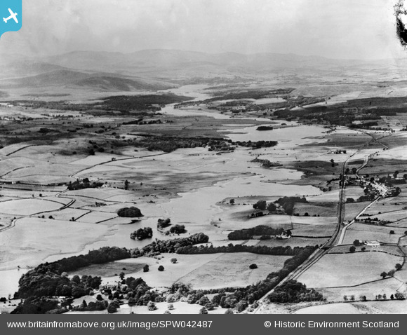
SPW042487 SCOTLAND (1933). River Dee, general view, showing Crossmichael and Loch Ken. An oblique aerial photograph taken facing north-west.
© Copyright OpenStreetMap contributors and licensed by the OpenStreetMap Foundation. 2025. Cartography is licensed as CC BY-SA.
Details
| Title | [SPW042487] River Dee, general view, showing Crossmichael and Loch Ken. An oblique aerial photograph taken facing north-west. |
| Reference | SPW042487 |
| Date | 1933 |
| Link | NRHE Collection item 1259482 |
| Place name | |
| Parish | BALMAGHIE |
| District | STEWARTRY |
| Country | SCOTLAND |
| Easting / Northing | 270210, 568290 |
| Longitude / Latitude | -4.0289126923288, 54.992179485124 |
| National Grid Reference | NX702683 |
Pins
Be the first to add a comment to this image!