
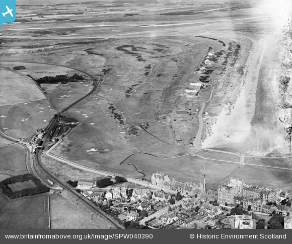
SPW040390 SCOTLAND (1932). The Links, St Andrews. An oblique aerial photograph taken facing west.
© Copyright OpenStreetMap contributors and licensed by the OpenStreetMap Foundation. 2024. Cartography is licensed as CC BY-SA.
Details
| Title | [SPW040390] The Links, St Andrews. An oblique aerial photograph taken facing west. |
| Reference | SPW040390 |
| Date | 1932 |
| Link | Canmore Collection item 1257457 |
| Place name | |
| Parish | ST ANDREWS AND ST LEONARDS |
| District | NORTH EAST FIFE |
| Country | SCOTLAND |
| Easting / Northing | 349950, 717250 |
| Longitude / Latitude | -2.8098150967398, 56.345040384178 |
| National Grid Reference | NO500173 |
Pins
 Andy A |
Tuesday 7th of January 2014 11:41:41 AM |


