
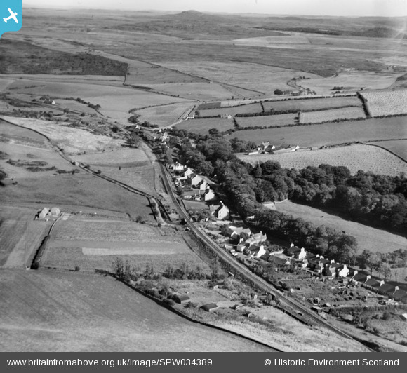
SPW034389 SCOTLAND (1930). Glenluce, general view, showing Main Street and Grayhill Farm. An oblique aerial photograph taken facing east.
© Copyright OpenStreetMap contributors and licensed by the OpenStreetMap Foundation. 2025. Cartography is licensed as CC BY-SA.
Details
| Title | [SPW034389] Glenluce, general view, showing Main Street and Grayhill Farm. An oblique aerial photograph taken facing east. |
| Reference | SPW034389 |
| Date | 1930 |
| Link | NRHE Collection item 1257115 |
| Place name | |
| Parish | OLD LUCE |
| District | WIGTOWN |
| Country | SCOTLAND |
| Easting / Northing | 220491, 557656 |
| Longitude / Latitude | -4.798599569102, 54.881288641146 |
| National Grid Reference | NX205577 |
Pins
Be the first to add a comment to this image!