
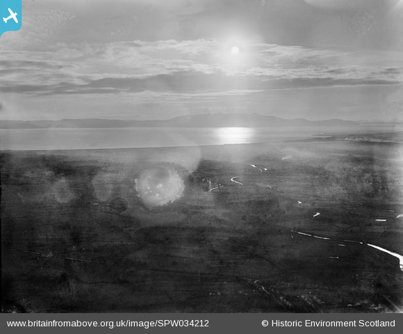
SPW034212 SCOTLAND (1930). Firth of Clyde, general view, showing West Kilbride to Isle of Arran. An oblique aerial photograph taken facing west.
© Copyright OpenStreetMap contributors and licensed by the OpenStreetMap Foundation. 2025. Cartography is licensed as CC BY-SA.
Details
| Title | [SPW034212] Firth of Clyde, general view, showing West Kilbride to Isle of Arran. An oblique aerial photograph taken facing west. |
| Reference | SPW034212 |
| Date | 1930 |
| Link | NRHE Collection item 1259417 |
| Place name | |
| Parish | WEST KILBRIDE |
| District | CUNNINGHAME |
| Country | SCOTLAND |
| Easting / Northing | 221480, 645390 |
| Longitude / Latitude | -4.8388720854248, 55.669142370749 |
| National Grid Reference | NS215454 |
Pins
Be the first to add a comment to this image!