
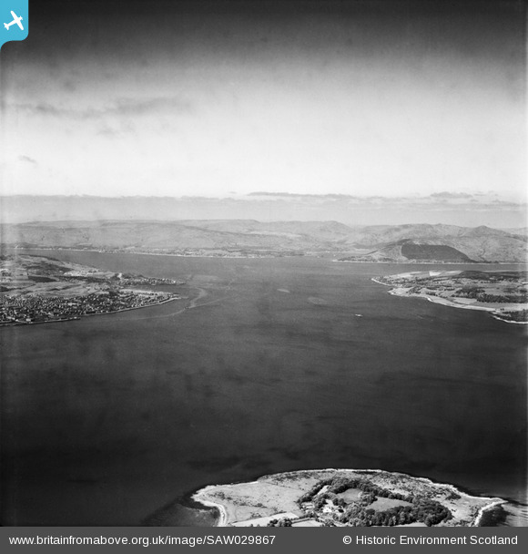
SAW029867 SCOTLAND (1950). Firth of Clyde, general view, showing Ardmore Point and Greenock. An oblique aerial photograph taken facing west.
© Copyright OpenStreetMap contributors and licensed by the OpenStreetMap Foundation. 2026. Cartography is licensed as CC BY-SA.
Details
| Title | [SAW029867] Firth of Clyde, general view, showing Ardmore Point and Greenock. An oblique aerial photograph taken facing west. |
| Reference | SAW029867 |
| Date | 1950 |
| Link | NRHE Collection item 1269514 |
| Place name | |
| Parish | MARITIME - ARGYLL AND BUTE |
| District | MARITIME |
| Country | SCOTLAND |
| Easting / Northing | 229113, 679159 |
| Longitude / Latitude | -4.7388739867248, 55.974992199551 |
| National Grid Reference | NS291792 |
Pins

yes |
Thursday 12th of June 2025 07:52:17 AM | |
|
yes |
Thursday 12th of June 2025 07:51:08 AM | |
|
yes |
Thursday 12th of June 2025 07:47:12 AM | |
|
yes |
Thursday 12th of June 2025 07:46:16 AM |