
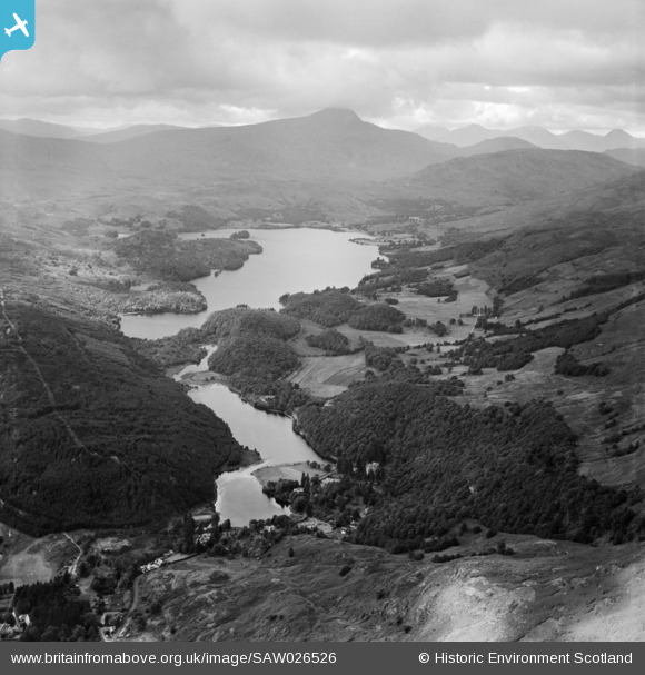
SAW026526 SCOTLAND (1949). Loch Ard, general view. An oblique aerial photograph taken facing west.
© Copyright OpenStreetMap contributors and licensed by the OpenStreetMap Foundation. 2026. Cartography is licensed as CC BY-SA.
Details
| Title | [SAW026526] Loch Ard, general view. An oblique aerial photograph taken facing west. |
| Reference | SAW026526 |
| Date | 1949 |
| Link | NRHE Collection item 1269373 |
| Place name | |
| Parish | ABERFOYLE |
| District | STIRLING |
| Country | SCOTLAND |
| Easting / Northing | 248270, 701544 |
| Longitude / Latitude | -4.4448685090393, 56.182389358924 |
| National Grid Reference | NN483015 |
Pins
Be the first to add a comment to this image!