
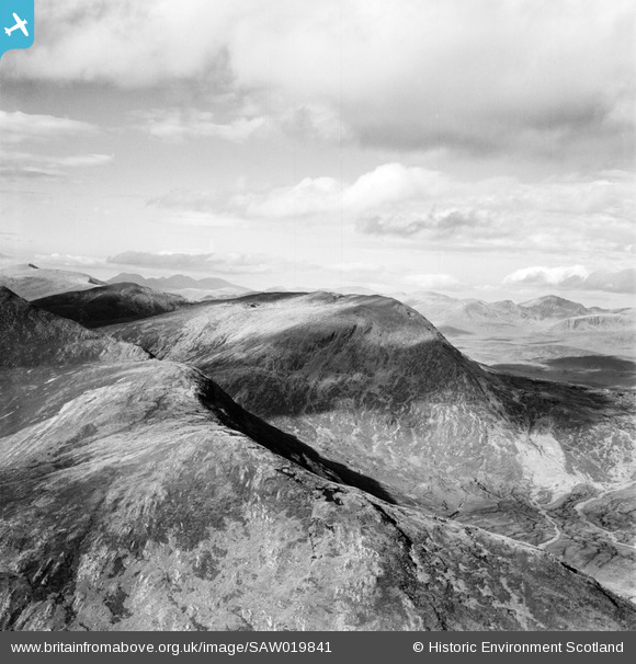
SAW019841 SCOTLAND (1948). Sgurr a' Mhuilinn, Strathconon Forest. An oblique aerial photograph taken facing north-west.
© Copyright OpenStreetMap contributors and licensed by the OpenStreetMap Foundation. 2026. Cartography is licensed as CC BY-SA.
Details
| Title | [SAW019841] Sgurr a' Mhuilinn, Strathconon Forest. An oblique aerial photograph taken facing north-west. |
| Reference | SAW019841 |
| Date | 1948 |
| Link | NRHE Collection item 1269174 |
| Place name | |
| Parish | CONTIN |
| District | ROSS AND CROMARTY |
| Country | SCOTLAND |
| Easting / Northing | 226200, 858260 |
| Longitude / Latitude | -4.9072708220934, 57.581115821568 |
| National Grid Reference | NH262583 |
Pins
Be the first to add a comment to this image!