
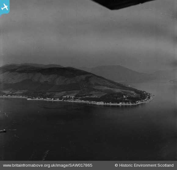
SAW017865 SCOTLAND (1948). Blairmore Hill and Holy Loch. An oblique aerial photograph taken facing north. This image has been produced from a print.
© Copyright OpenStreetMap contributors and licensed by the OpenStreetMap Foundation. 2026. Cartography is licensed as CC BY-SA.
Details
| Title | [SAW017865] Blairmore Hill and Holy Loch. An oblique aerial photograph taken facing north. This image has been produced from a print. |
| Reference | SAW017865 |
| Date | 1948 |
| Link | NRHE Collection item 1314811 |
| Place name | |
| Parish | DUNOON AND KILMUN |
| District | ARGYLL AND BUTE |
| Country | SCOTLAND |
| Easting / Northing | 219047, 681248 |
| Longitude / Latitude | -4.9013841327261, 55.990052075898 |
| National Grid Reference | NS190812 |
Pins

mannidaze |
Friday 12th of September 2014 05:17:59 PM |