
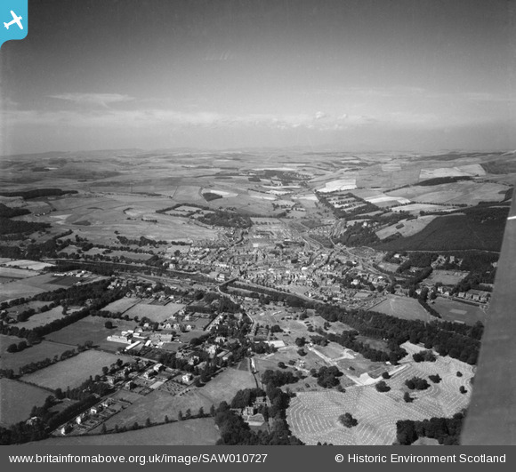
SAW010727 SCOTLAND (1947). Peebles, general view, showing Tweed Bridge and Victoria Park. An oblique aerial photograph taken facing north.
© Copyright OpenStreetMap contributors and licensed by the OpenStreetMap Foundation. 2025. Cartography is licensed as CC BY-SA.
Details
| Title | [SAW010727] Peebles, general view, showing Tweed Bridge and Victoria Park. An oblique aerial photograph taken facing north. |
| Reference | SAW010727 |
| Date | 1947 |
| Link | NRHE Collection item 1268719 |
| Place name | |
| Parish | PEEBLES |
| District | TWEEDDALE |
| Country | SCOTLAND |
| Easting / Northing | 324650, 641236 |
| Longitude / Latitude | -3.1977730875302, 55.658799679982 |
| National Grid Reference | NT247412 |
Pins

Mike Floate |
Saturday 2nd of May 2015 09:52:33 PM |