
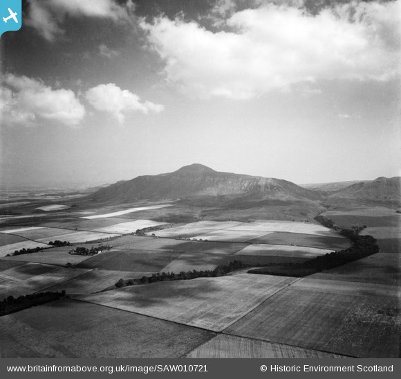
SAW010721 SCOTLAND (1947). West Lomond and Glen Burn, Lomond Hills. An oblique aerial photograph taken facing east.
© Copyright OpenStreetMap contributors and licensed by the OpenStreetMap Foundation. 2025. Cartography is licensed as CC BY-SA.
Details
| Title | [SAW010721] West Lomond and Glen Burn, Lomond Hills. An oblique aerial photograph taken facing east. |
| Reference | SAW010721 |
| Date | 1947 |
| Link | NRHE Collection item 1268714 |
| Place name | |
| Parish | STRATHMIGLO |
| District | NORTH EAST FIFE |
| Country | SCOTLAND |
| Easting / Northing | 319300, 706900 |
| Longitude / Latitude | -3.3024518515054, 56.247834867044 |
| National Grid Reference | NO193069 |
Pins
Be the first to add a comment to this image!