
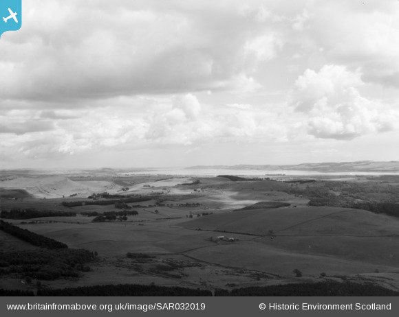
SAR032019 SCOTLAND (1958). View showing Tay and Bridge in distance Kinfauns, Perthshire, Scotland. An oblique aerial photograph taken facing East.
© Copyright OpenStreetMap contributors and licensed by the OpenStreetMap Foundation. 2026. Cartography is licensed as CC BY-SA.
Details
| Title | [SAR032019] View showing Tay and Bridge in distance Kinfauns, Perthshire, Scotland. An oblique aerial photograph taken facing East. |
| Reference | SAR032019 |
| Date | 1958 |
| Link | NRHE Collection item 1438594 |
| Place name | |
| Parish | ERROL |
| District | PERTH AND KINROSS |
| Country | SCOTLAND |
| Easting / Northing | 327200, 724270 |
| Longitude / Latitude | -3.1797859331262, 56.405151947834 |
| National Grid Reference | NO272243 |
Pins
Be the first to add a comment to this image!