
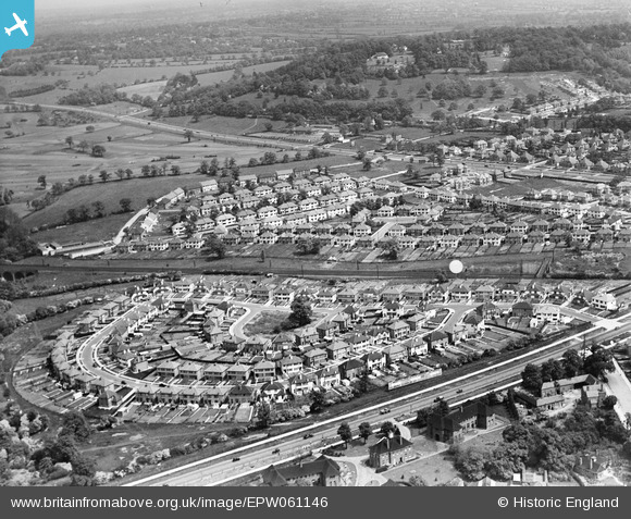
EPW061146 ENGLAND (1939). Mount Grove and environs, Edgware, 1939
© Copyright OpenStreetMap contributors and licensed by the OpenStreetMap Foundation. 2026. Cartography is licensed as CC BY-SA.
Details
| Title | [EPW061146] Mount Grove and environs, Edgware, 1939 |
| Reference | EPW061146 |
| Date | 30-May-1939 |
| Link | |
| Place name | EDGWARE |
| Parish | |
| District | |
| Country | ENGLAND |
| Easting / Northing | 520617, 193148 |
| Longitude / Latitude | -0.25737075991928, 51.62373847384 |
| National Grid Reference | TQ206931 |
Pins
Be the first to add a comment to this image!